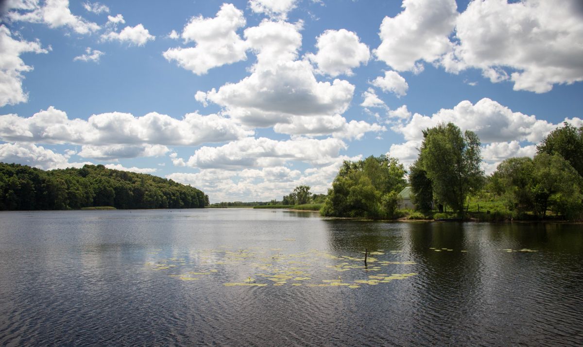

For the first time, sensor technologies were used to examine the bottom of a body of water for explosive hazards. The demining operator, Risk Control LLC, employed the MinesEye system developed by the “Progress Foundation” charity during the survey of a lake north of Kyiv. The community uses this lake as a technical water source for firefighting needs.
"Ukraine is becoming a leader in humanitarian demining as we continue to explore and improve methods for clearing our land and waters. The use of sensors in bodies of water with low visibility and heavy silt will help sappers inspect such areas faster and more effectively," said Ihor Bezkaravainyi, Deputy Minister of Economy of Ukraine.
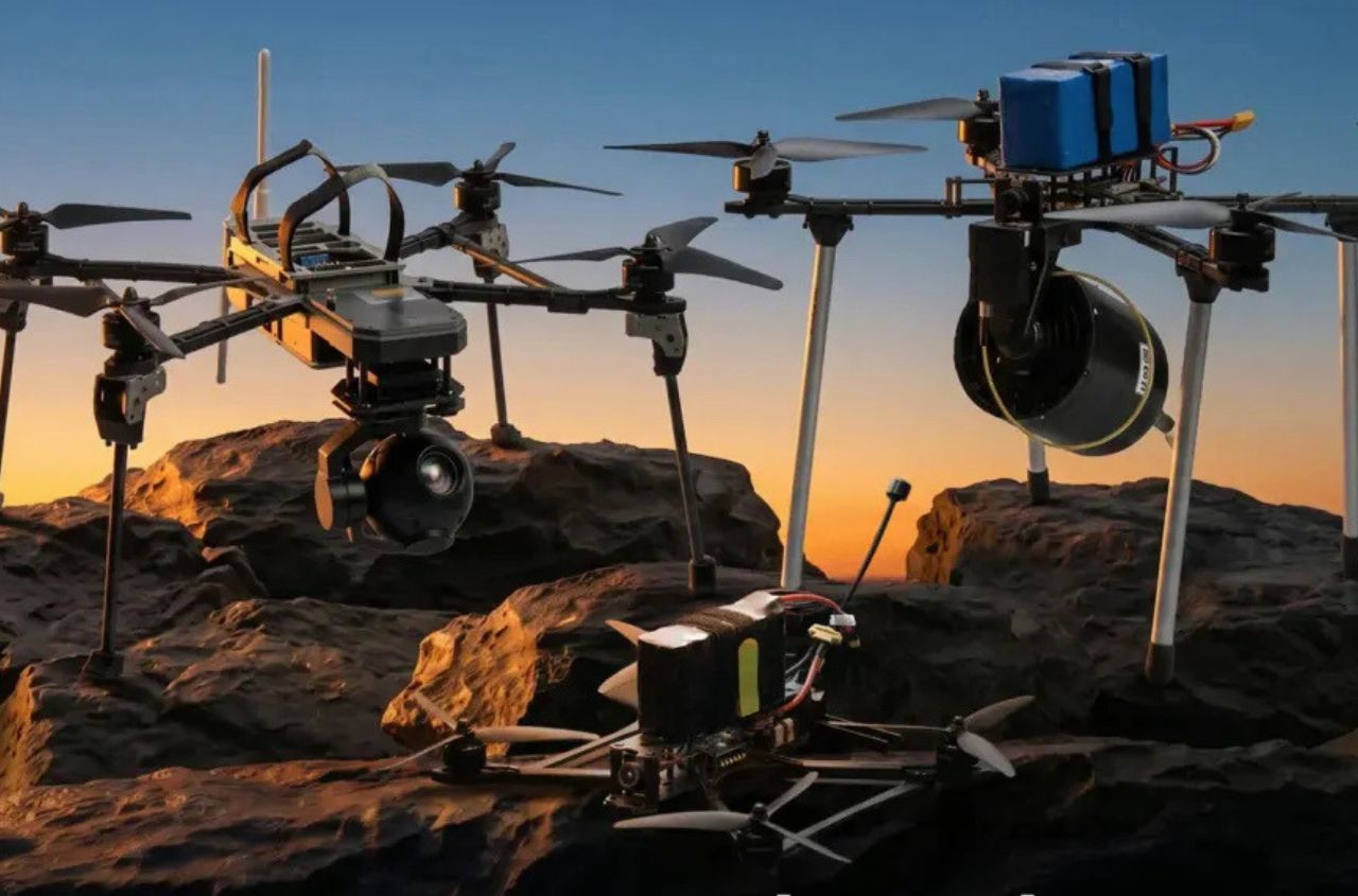
During the demonstration mission, the MinesEye drone completed two flight sessions within 15 minutes, including one at an extremely low altitude of just 20 cm above the water’s surface. The total area surveyed was 2,200 m², consisting solely of open water free of shoreline vegetation. As a result, the team detected ferromagnetic anomalies on the lakebed and identified 18 priority locations for underwater verification.
Following this type of survey, sapper-divers—using an underwater drone—will inspect the lakebed. Special attention will be paid to the objects identified by the MinesEye system.
Since the beginning of the year, Ukraine has returned nearly 2,000 km² of de-occupied territory to productive use. In total, 36,942 km² have been cleared so far. However, 137,058 km² of Ukrainian territory, including occupied areas and aquatic zones, remain potentially contaminated.