

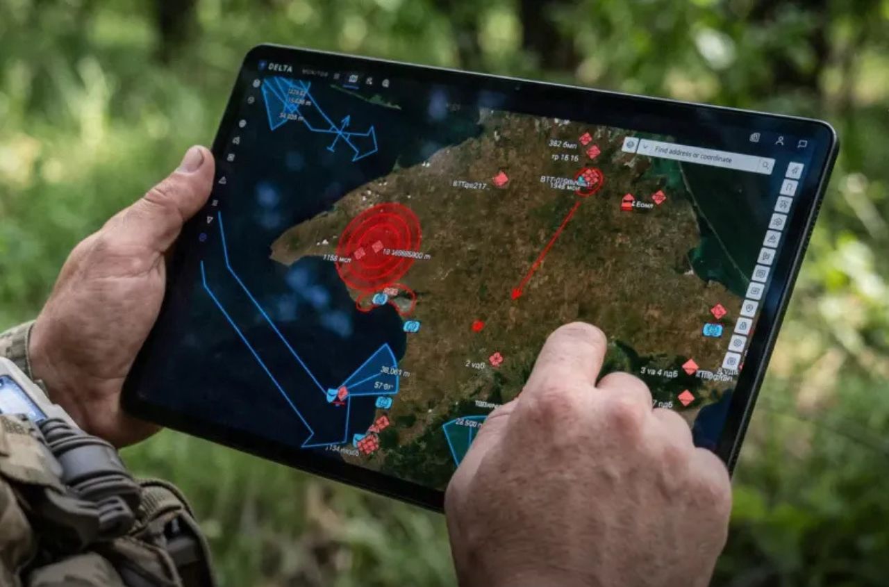
Ukraine’s DELTA combat system has integrated satellite imagery, orthophotos and 3D terrain data into a single digital environment, allowing Ukrainian forces to obtain a more detailed picture of the battlefield and plan operations with greater precision. In July 2026 alone, Ukrainian troops added more than 1,700 such high-precision digital images to DELTA, according to Ukraine’s Ministry of Defence.
The platform currently contains data from several satellite providers and is regularly updated. The imagery covers the entire territory of Ukraine, including temporarily occupied territories and Crimea, as well as Russian territory. This geospatial data helps track changes on the ground, identify new assets and plan long-range strikes. DELTA also notifies users when new imagery becomes available within their selected area of interest.
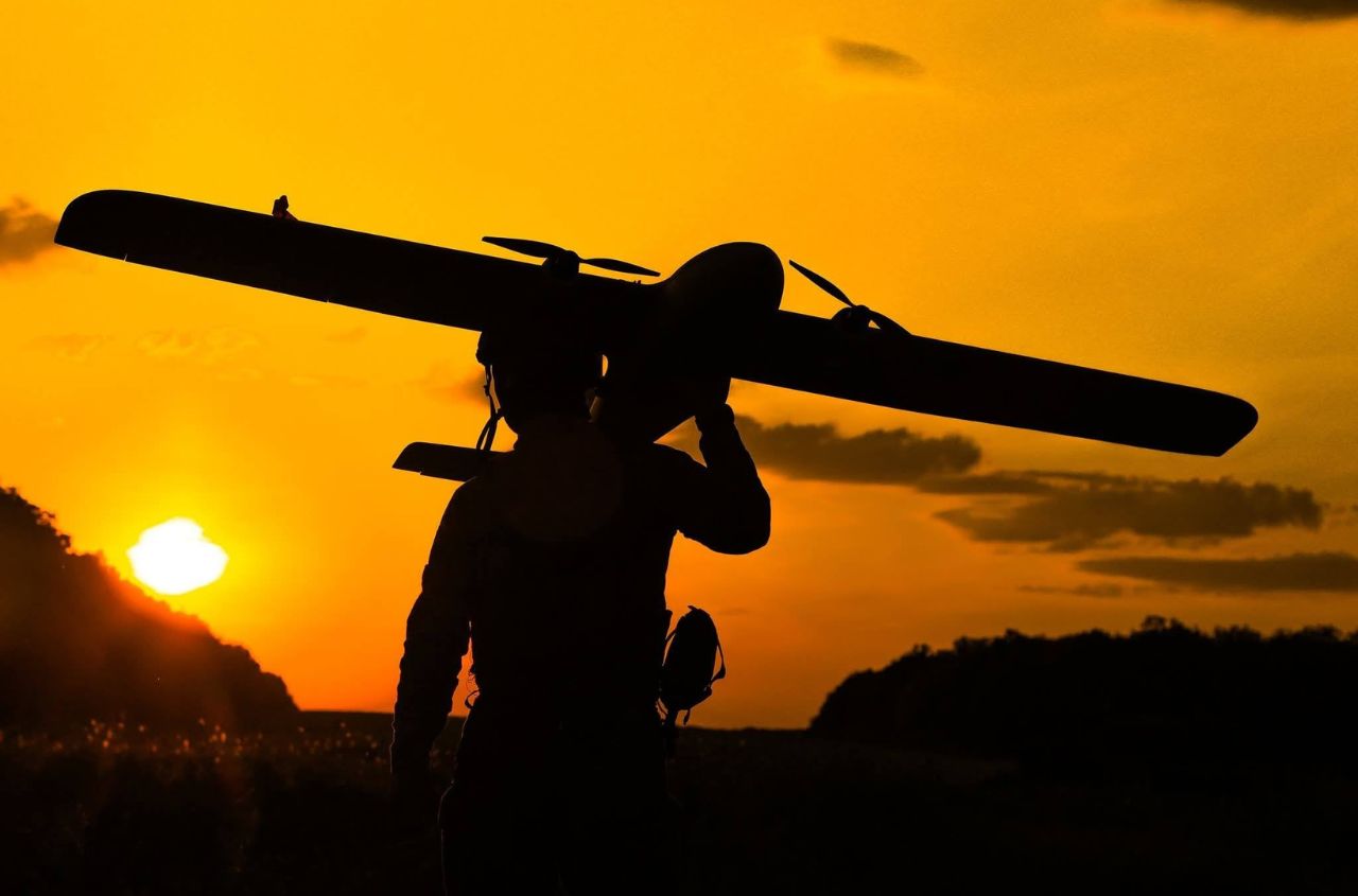
For highly detailed views of specific areas, orthophotos created using reconnaissance drones are used. Unlike conventional aerial photographs, which may contain geometric distortions caused by terrain, camera angle or imaging conditions, orthophotos undergo photogrammetric processing and geometric correction.
The images are converted into a specified map projection and linked to a coordinate system, while individual images are combined into a single georeferenced picture. This makes it possible to take precise measurements, compare geospatial data and conduct detailed analysis of the terrain.
Another layer of geospatial data consists of 3D terrain models that take into account both topography and the height of objects. They are already being used to plan routes for unmanned ground vehicles, for which changes in elevation can be critical.
The Ministry of Defence said the next step will be to further scale up this capability and increase the volume of geospatial data available through DELTA.